MAPPING YOUR WORLD
GISFile is a free service for a wide range of GEO-spatial tasks, which allows to use the service as a geospatial database, file storage and GPS navigation. Set Rest API functions enable third-party developers to use the service in their own WEB-development
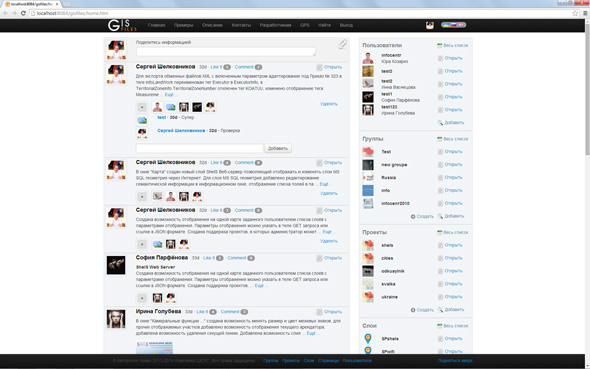
Members programs GIS 6 and MapDraw 2 can display, create, edit and search the information in a familiar user interface. The opportunity to display and edit the layers directly in the Web-interface is possible for all users. Users can quickly create group projects, layers, connect to data from other users and share their data. Service allows co-creating and editing objects as well as sharing of experience with the community.
SERVICE OPPORTUNITIES
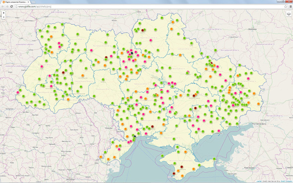
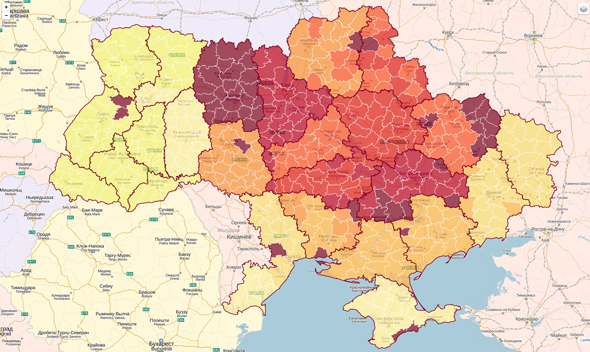
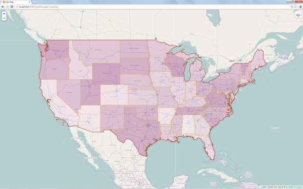
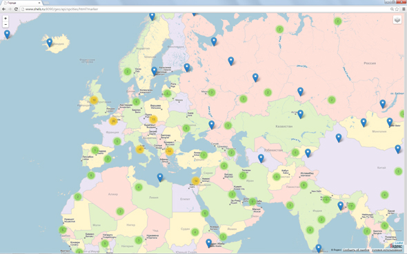
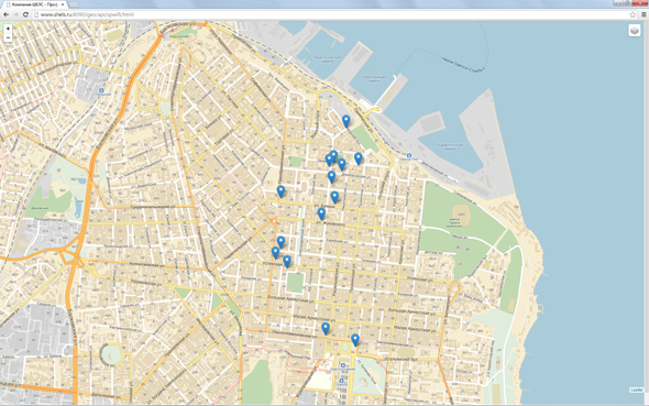
Vector objects can be displayed on any substrate of OpenStreetMap, Google Map and others. Tile layer is the substrate, which demonstrates a set of images, but it was created independently or by another user.
Maps may contain a group of layers which are available to the author, where is possible to determine the display parameters for every layer and for whole project.
Despite the variant when you should specify the parameters of displaying the options of layers in the link, Web server enables the administrator to specify these parameters by default. User needs only specify the link with the name of the project.
COMMUNITY
GEO-INFORMATION TECHNOLOGY
OPERATIONAL
CREATING PROJECTS
EDITOR
GEO-SPATIAL DATA
THE JOINT
EDITING OBJECTS
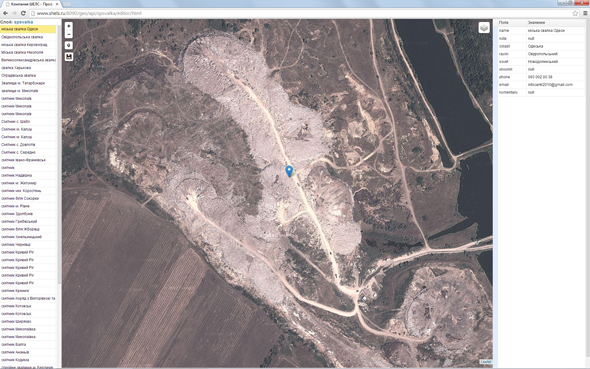
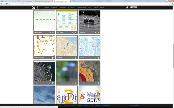
IMAGE REPOSITORY
AND FILE
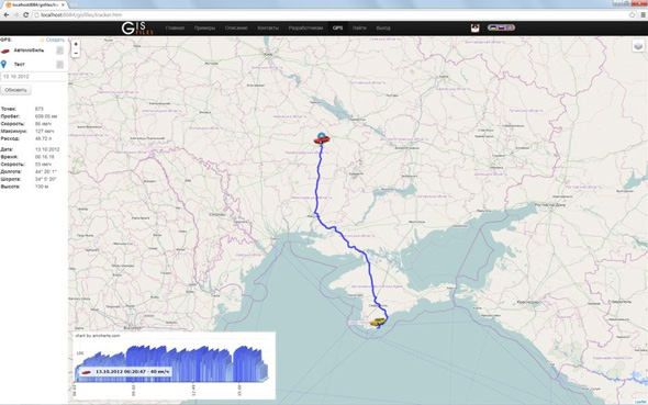
GPS NAVIGATION
FOR OBJECT